Healthy Place Making and the National Model Design Code: Spot the Difference – Masterplanning to Support Connectivity
Our National Model Design Code series focuses on content within the National Model Design Code, specifically centring on its illustrations (all provided with thanks and credit to Department for Levelling Up, Housing and Communities) and how such design has the potential to influence the development of healthy places.
The way in which places and spaces are laid out has a profound impact on the way people choose to live and move.
Here, the National Model Design Code demonstrates connected development as well as a masterplan which fails to maximise connectivity.
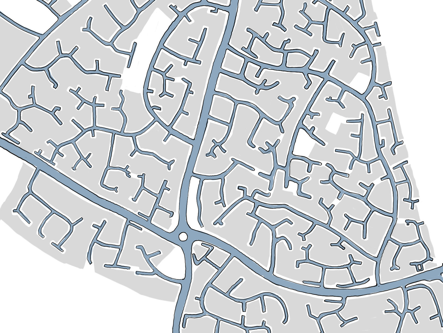
Gaps in Connectivity
In the first example, it is evident throughout that the Cul-De-Sac approach taken creates a significant number of dead-ends. Whilst the main roads through the development provide an element of connectivity, their relationship with the secondary/minor street network provides a design which will encourage travel by private vehicle.
Simply speaking, the distances you would need to travel to move around and beyond this development are significantly greater than they would have been with connected streets. This makes walking and cycling far less attractive and provides an inconvenience to anyone navigating through this place.
The design could still incorporate smaller connections – such as walkways/alleys between the streets shown – however, unless very carefully designed, such routes can often feel unsafe and unappealing to many residents.
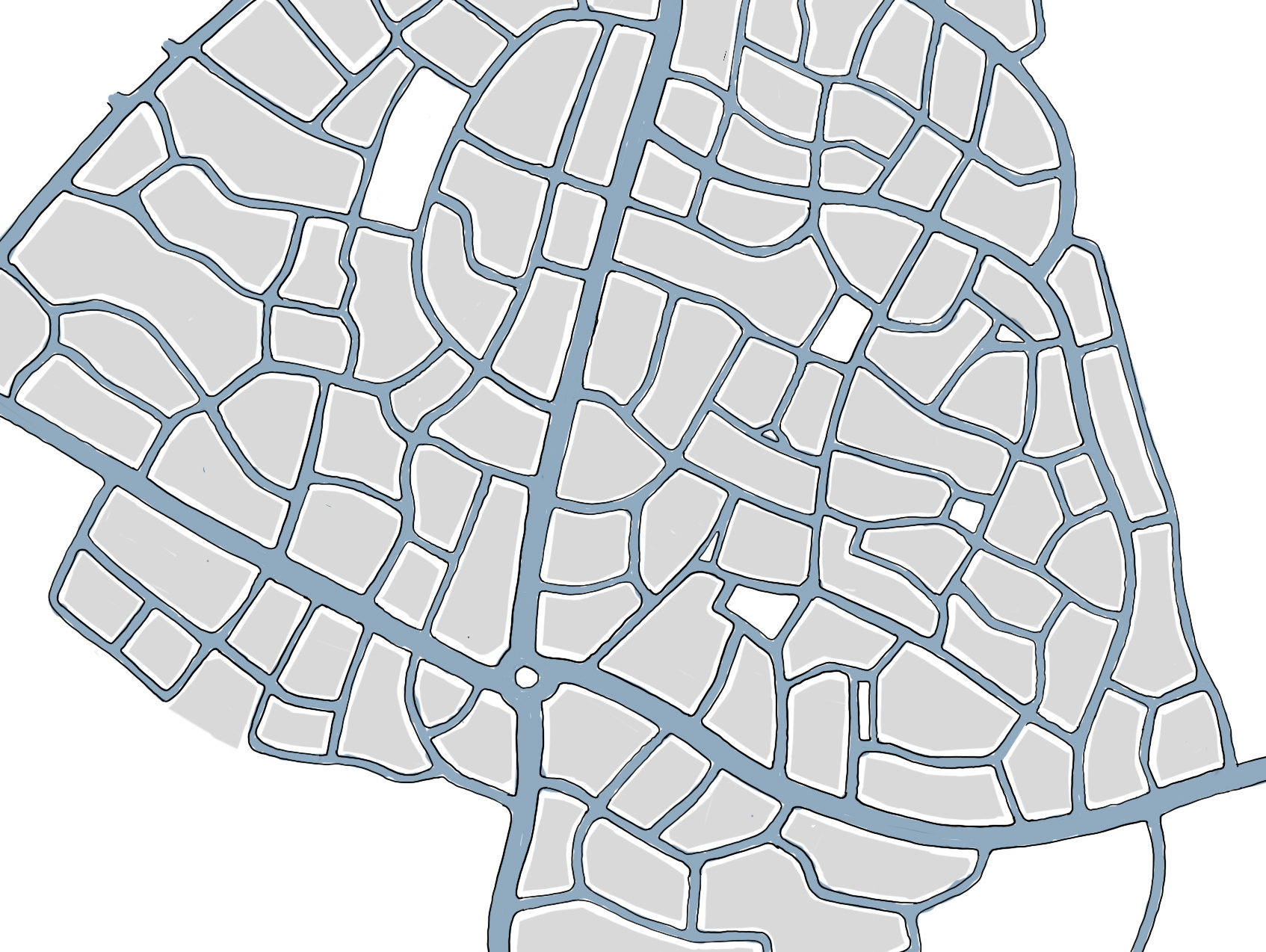
Improved Connectivity
The second design provides a more connected network of streets. As a result, it is easier to navigate and provides more direct routes in all directions – reducing travel times and distances and supporting easier movement.
This design is more walkable, both due to the direct nature of the street layouts, and due to those routes being easier to design in a way which is overlooked and well-lit – providing an increased sense of safety as well as convenience.
Do you wish to provide further comments on this illustration? We welcome additional commentary from Healthy Place Making users, so if you have thoughts on additional benefits of this design that haven’t been mentioned above, or suggestions on how the design could be further improved to support health, please let us know.
You can use the enquiry button at the bottom of this page to submit your thoughts. Don’t forget to let us know which page your comments relate to!
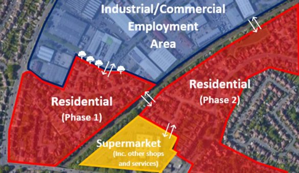
Creating Attractive and Effective Connections (Part One)
Walkable communities provide an opportunity to encourage active travel – whether that be walking, cycling or scooting – by connecting a range key places (such as homes, shops, schools, workplaces...
Read more about "Creating Attractive and Effective Connections (Part One)"
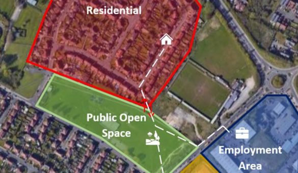
Creating Attractive and Effective Connections (Part Two)
This case study expands upon Creating Attractive and Effective Connections (Part One) by looking at an additional example of how to consider the quality and potential impact of connections across...
Read more about "Creating Attractive and Effective Connections (Part Two)"
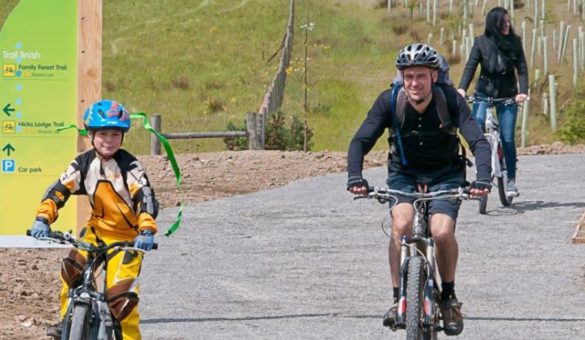
The National Forest: Connectivity Through Walking and Cycling
The National Forest embraces 200 square miles of the Midlands, and aims to link the two ancient forests of Charnwood and Needwood. Having planted over nine million trees, the National...
Read more about "The National Forest: Connectivity Through Walking and Cycling"
Share your examples and case studies!
We’re always looking for more examples of great practice when it comes to creating healthier place making! If you know of great examples – whether that’s a well-designed park, a health housing development, or anything else – then please get in touch to share it with us… it’d be great to showcase your example on Healthy Place Making.

